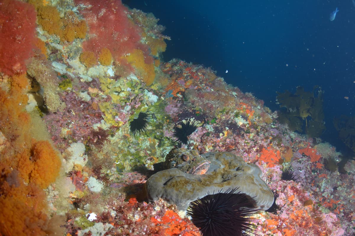
Credit: Ayushi Kachhara NIWA 2018
Webinar presentation by Drew Lohrer, 15 July 2020 (29 mins + Q&A)
Ecosystem services are the benefits humans receive from nature. Marine species and habitats provide multiple ecosystem services to people and communities, such as kaimoana, coastal protection, improved water quality and nutrient removal. Despite the vast coverage of the seafloor, very little is known about its contributions to ecosystem service delivery, in part because it is difficult to observe and measure what is happening there.
In this webinar, Drew Lohrer presents research that used a rules-based approach to predict and map refuge habitat in the Hauraki Gulf and Marlborough Sounds, and then validated this technique by surveying the seafloor at a range of sites around Great Barrier Island. The research team also developed tools to measure and map nitrogen removal in Whitford and Wairoa Bays, near Auckland.
The 4 maps are available to download below recording.