Image
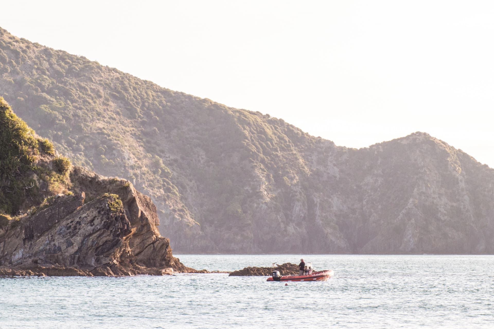
Credit: Lana Young
Map

Tōtaranui/Queen Charlotte Sound interactive map

This interactive map of Tōtaranui/Queen Charlotte Sound shows the study locations our researchers have worked at.

These images and videos came from research into reef and seafloor habitats as part of the Tipping points in ecosystem structure, function and services and Ecological responses to cumulative effects projects. Clicking on the site reveals a photograph/video of the sea floor with a short explanation of what is shown.
View full map

Related projects & activities

Image
Credit: Ōhiwa Harbour, Sustainable Seas
Ecological responses to cumulative effects
This project brings together mātauranga Māori and science to develop new knowledge about cumulative effects
More
This project has produced or contributed to
Image
Tipping points in ecosystem structure, function and services
We investigated how marine ecosystems respond to change, and identified tipping points, risks and ways of managing them.
More
This project has produced or contributed to