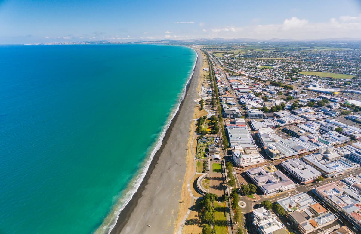
Credit: Ayushi Kachhara NIWA 2018
This is a systems map of two marine stressors - freshwater sedimentation and loss of seabed structure - and their impact in Hawke's Bay from Stage 1.
Developed in Stage 1 of the Hawke's Bay regional study project, this map will help identify mechanisms and levers to inform critical levels of these stressors and their interactions.
What is systems mapping?
System mapping is a visual tool that builds a picture of interconnected factors contributing to, and impacted by, a certain issue(s) of interest. It specifically focuses on the circular nature of these relationships and how they ‘feedback’ on themselves and each other. Once this is articulated it can be used to explore how any action taken will impact other parts of the system over time.
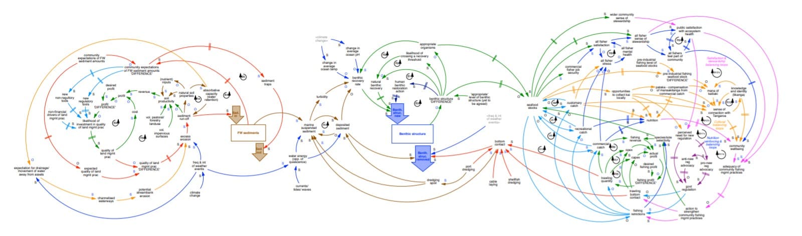
Note: This image of the systems map is for context only, see the file below for the full-size readable version.