Related projects & activities
Stressor footprints and dynamics
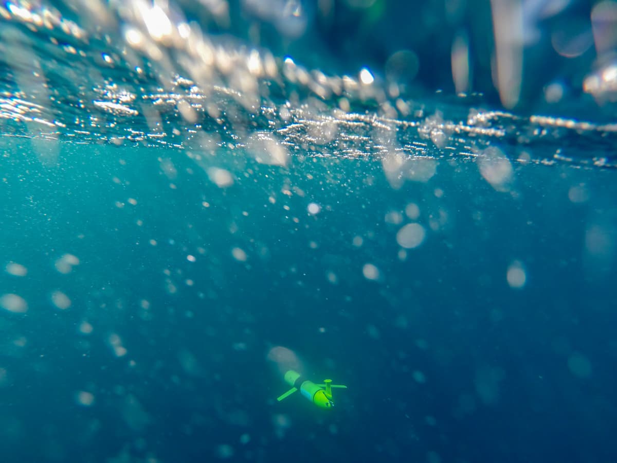
We investigated how coastal waters and oceans mix and transport materials that can stress marine ecosystems.
MoreThis project has produced or contributed to
We have developed a near real-time forecasting tool for Tasman and Golden Bays to help predict when aquaculture sites and beaches are safe to access.
| Project Leader | Duration | Budget |
|---|---|---|
| Ben Knight (Cawthron Institute) | February 2017 – September 2019 | $450,000 |
The coasts are at the ‘end of the pipe’ for discharge from local rivers and streams, so seawater quality is sometimes compromised by bacteria from land-based activities. This can affect the revenue of shellfish growing areas and close local beaches to public use.
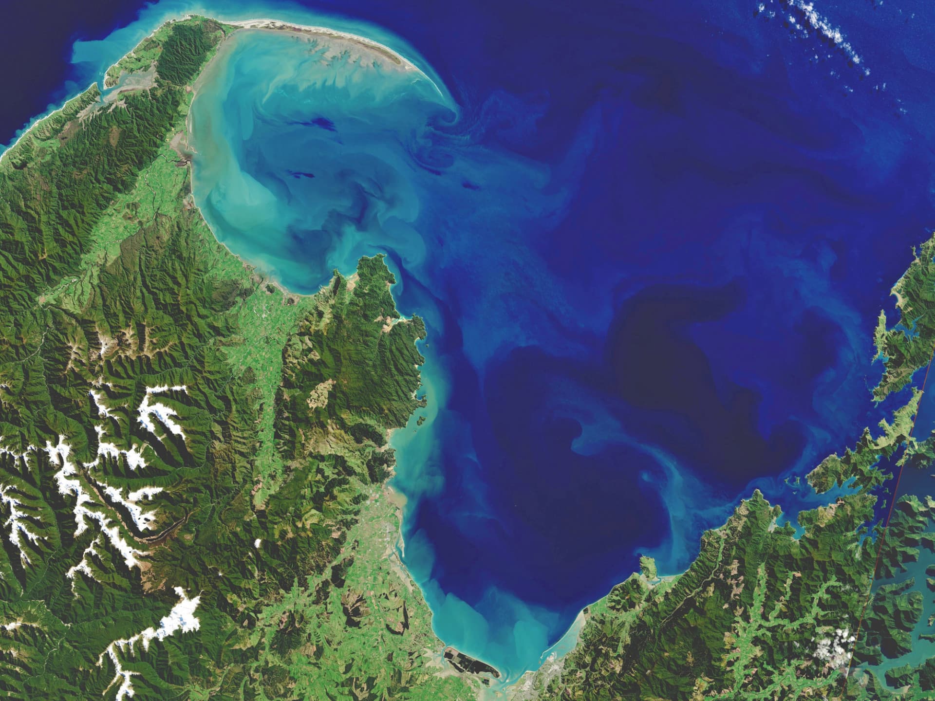
Seawater in Tasman and Golden Bays is periodically contaminated with bacteria, causing temporary closure of commercial shellfish harvest and public beaches. The aquaculture industry and regional councils want more accurate and timely forecasting to better predict and manage risk. We created the first near real-time forecasting tool for the region, which will improve the prediction of contamination risk.
Although improved land management practices may ultimately reduce contamination risk, our research aims to improve forecasting so that beaches are not closed when bacterial levels are within safe limits and harvesting of shellfish is not unnecessarily delayed.
Our team of national experts from the Cawthron Institute, NIWA and MetOcean Solutions Limited have built connected models from the land to the region’s main rivers to the sea. We have combined river flow estimates with river bacterial measurements to predict contaminant discharges on the coast. The model is a daily forecast – like a weather map – of river plumes entering the sea and contaminant measurements that accurately estimate contaminant risk.
This project has produced or contributed to: